
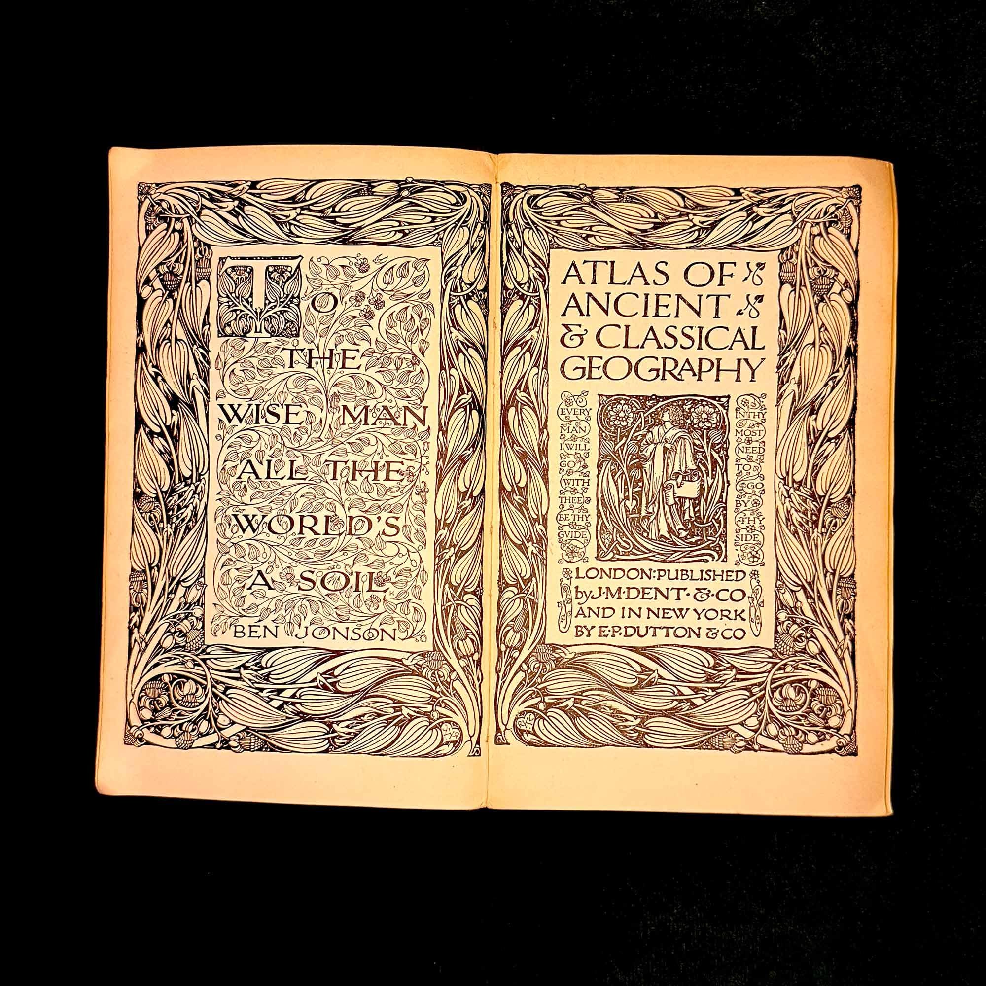
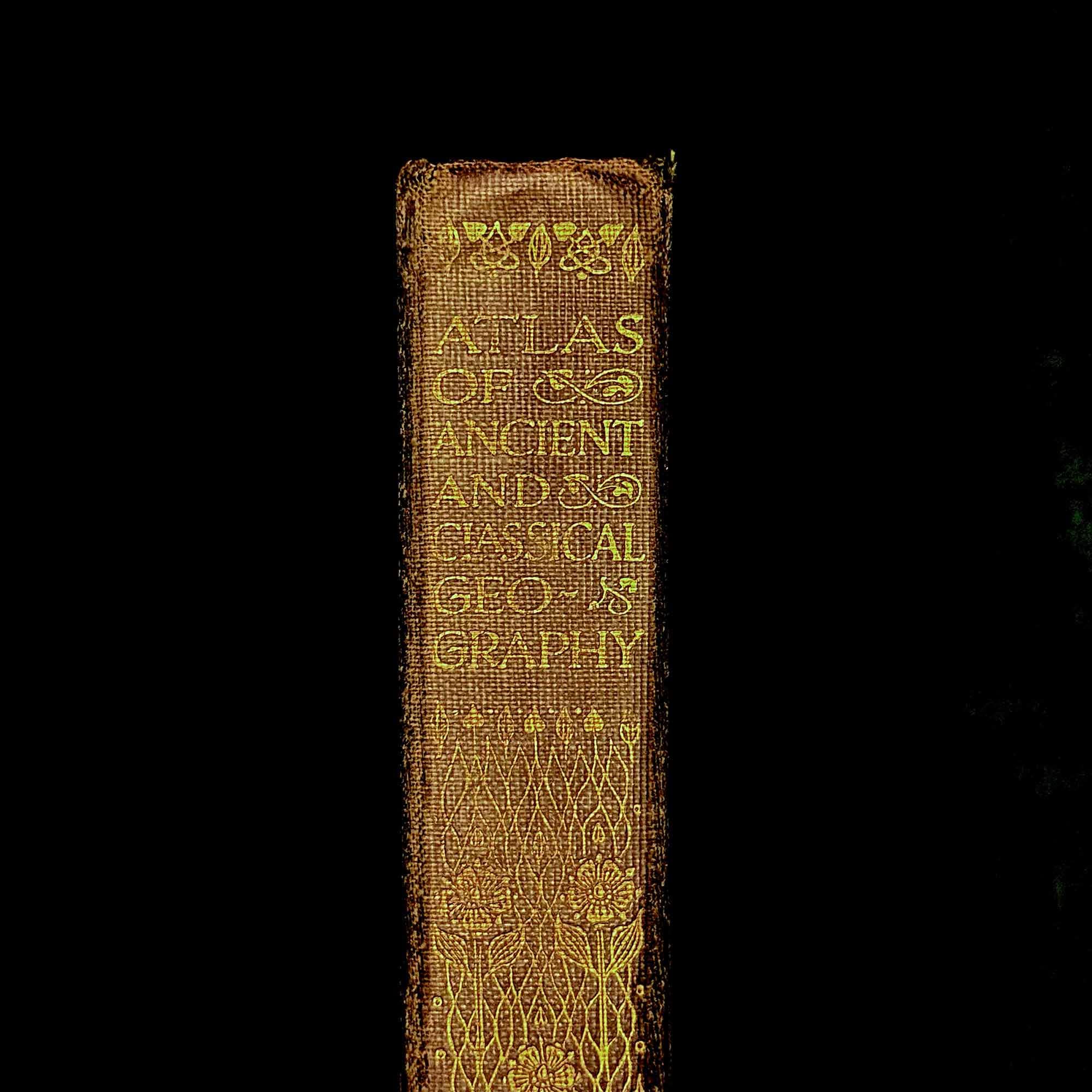
Atlas of Ancient and Classical Geography | c. 1907 - 1915 | Everyman's Library edited by Ernest Rhys

$126.39
Free UK Tracked Postage
A handsome early Everyman’s Library atlas devoted to the geography of the ancient and classical world, produced during the Edwardian period at the height of the series’ ambition and quality.
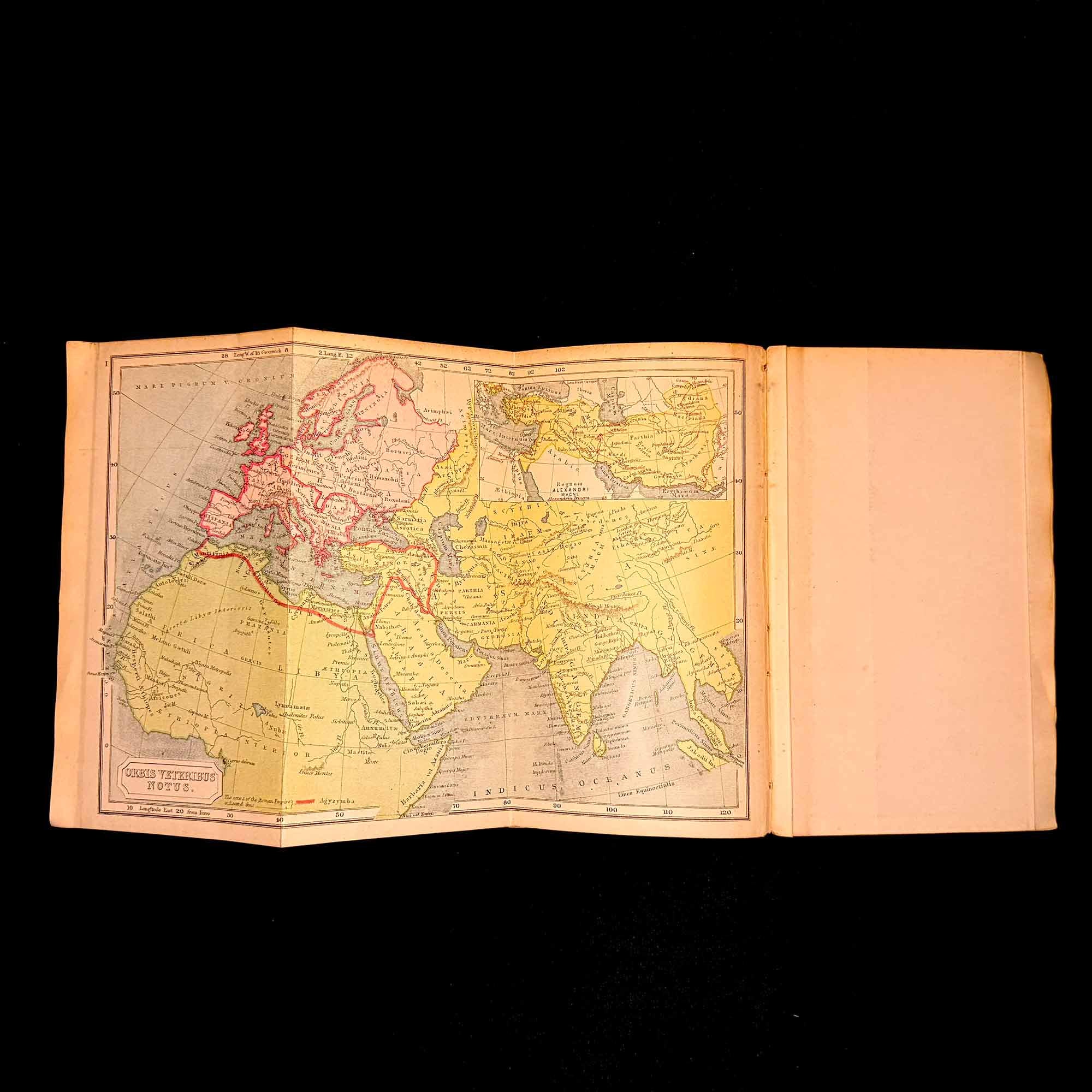
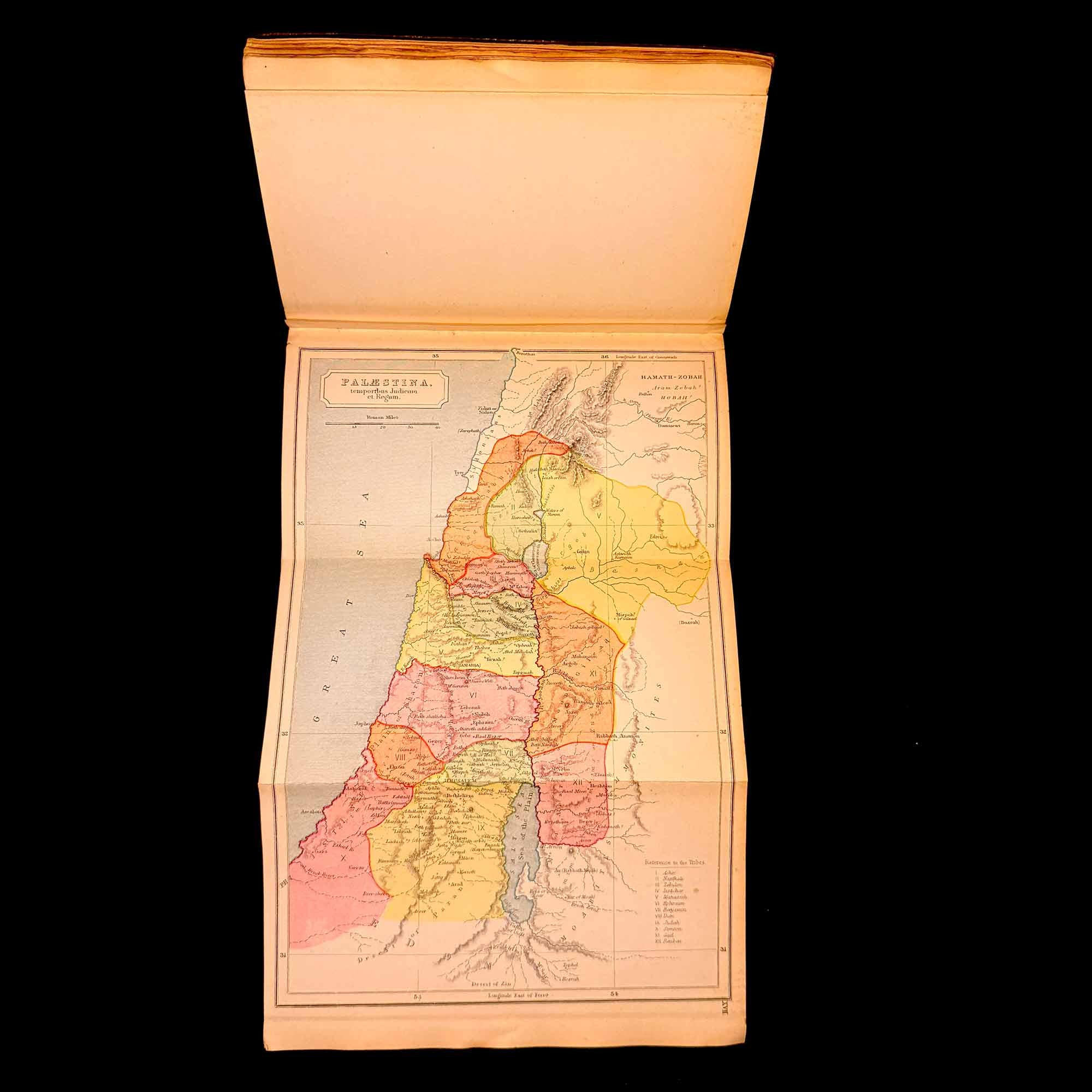
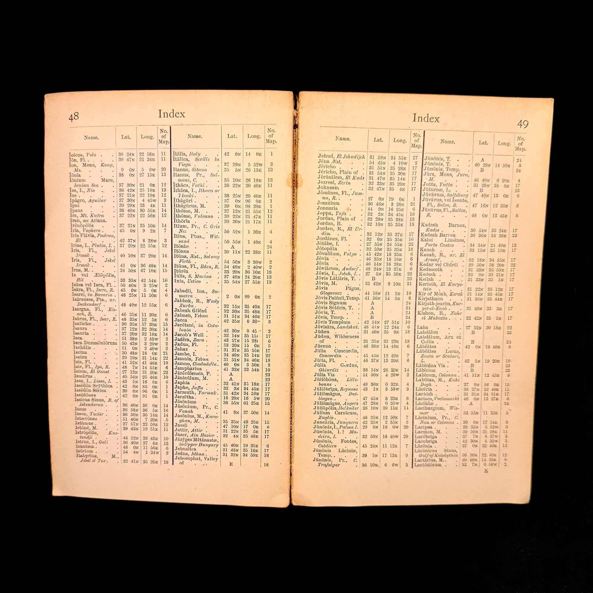
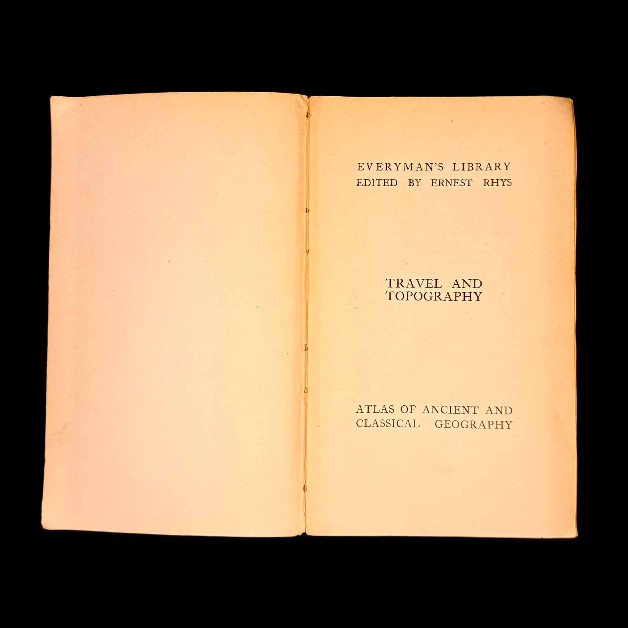
This volume forms part of the Travel and Topography section of Everyman’s Library and includes a series of folding colour maps covering the classical world, with particular emphasis on the Mediterranean, Near East, and regions central to Greek and Roman history. The maps are finely printed and remain clear, legible, and historically evocative, offering both scholarly and decorative appeal.
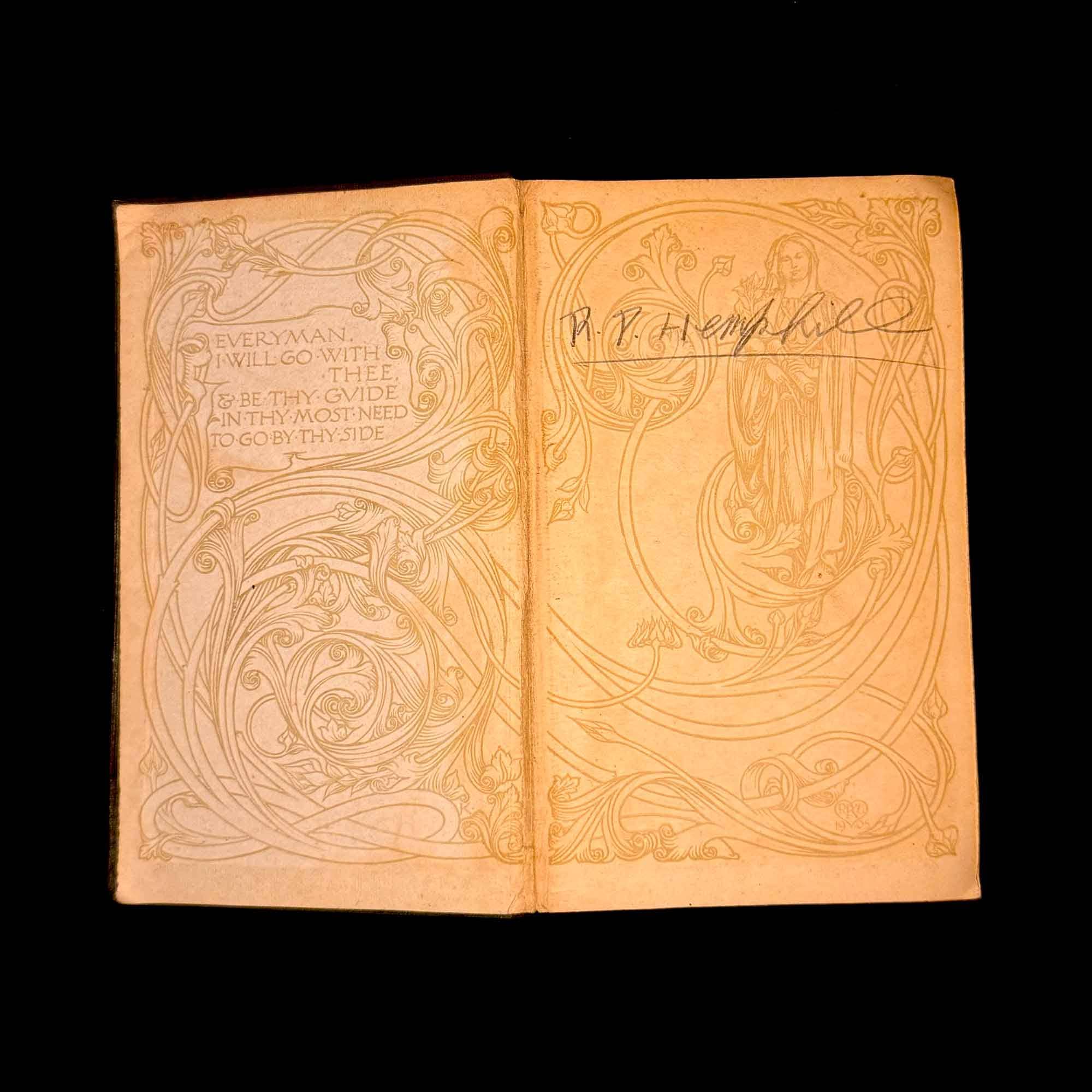
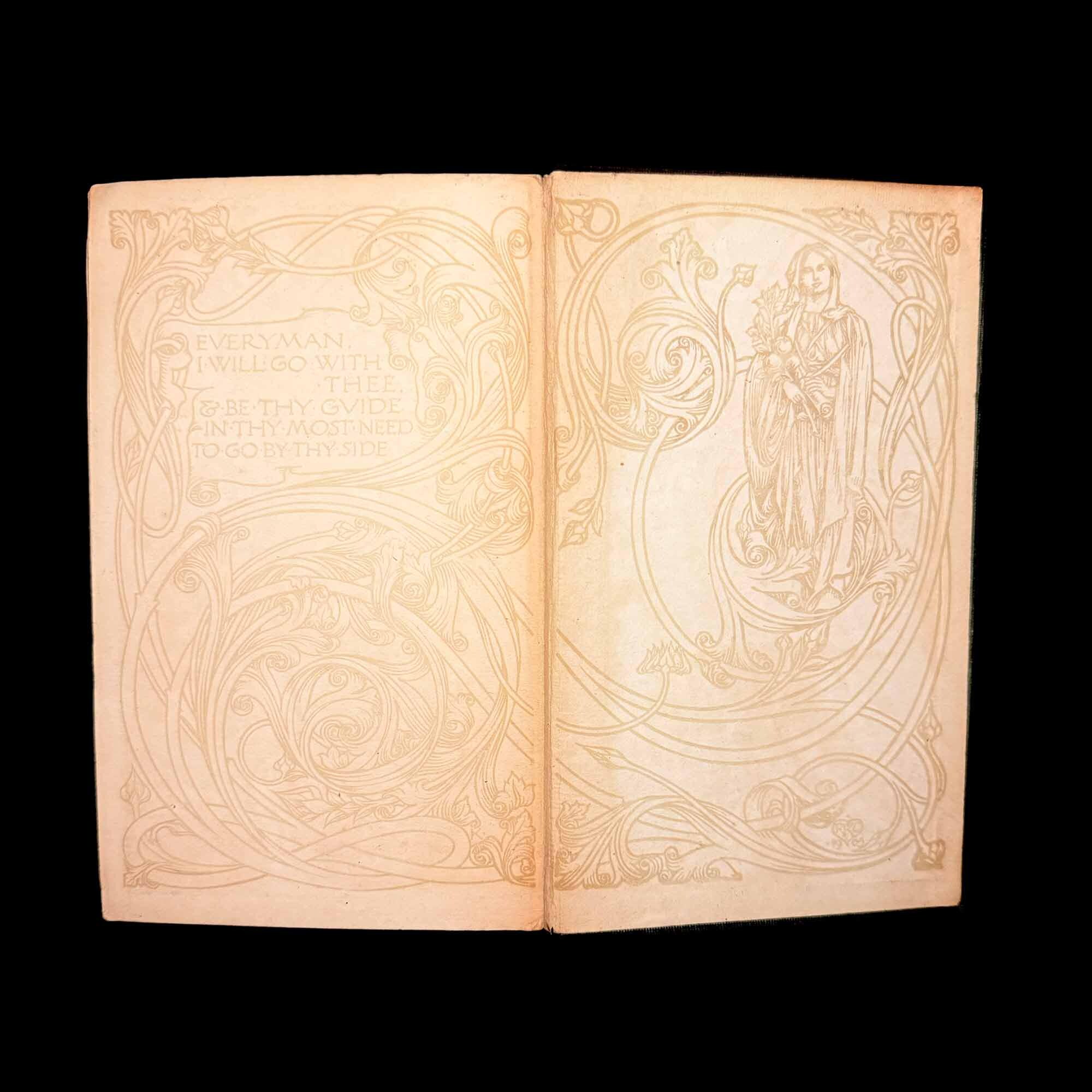
The book features the distinctive Arts & Crafts–influenced decorative title pages typical of early Everyman’s Library production, under the editorship of Ernest Rhys. Bound in the original publisher’s cloth with gilt lettering to the spine.
A desirable early reference atlas, attractive both as a working historical resource and as a collectable example of early 20th-century British book design. Well suited to collectors of classical history, cartography, or Everyman’s Library editions.
Condition: Good overall for age. Expected wear to the cloth binding, including rubbing and softening to edges. Internal pages are clean and sound. Folding maps are present and intact, with no significant losses observed. Hinges show light age-related wear but remain serviceable.
0 items in your cart